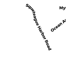
10 SQUETEAGUE HARBOR RD
Owner Information
KARSTAD KATRINE &
PO BOX 64
CATAUMET, MA 02534


Property Details
10 SQUETEAGUE HARBOR RD is classified as a Single Family Residential (Conventional).
The primary structure on this property was built in 1885. There are 4,609ft2 of built area within this property. There is 4,609ft2 of residential/living space within this property. This property is listed as having 16 rooms.
10 SQUETEAGUE HARBOR RD is valued at $1,648,400. The land is valued at $1,216,200 and the structures are valued at $430,500. There is an additional valuation of $1,700 on this property.
This property is in Zone 1. Confirm with local Zoning Board authorities to ensure there are no overlays or other easements on this property.
The most recent deed for 10 SQUETEAGUE HARBOR RD is recorded at the local registrar in Book 25359, Page 254. 10 SQUETEAGUE HARBOR RD was last sold on Monday, April 4, 2011 for $1.
Assessment data from fiscal year 2020.
Flood Data
This property has multiple flood prone designations.
| Zone | Description | BFE | Area |
|---|---|---|---|
| AE | within floodplain | 17 | 0.03 (2.84%) |
| VE | coastal flooding with wave action | 17 | 0.08 (8.2%) |
This information is sourced from the FEMA National Flood Hazard Layer. See our full disclamer.
Broadband Internet Providers
| Provider | Type | Bandwidth (mbps) | |
|---|---|---|---|
| Viasat Inc | Satellite | 35 | 3 |
| Verizon New England Inc. | DSL | 15 | 1 |
| HughesNet | Satellite | 25 | 3 |
| VSAT Systems, LLC. | Satellite | 2 | 1 |
| Comcast | Cable | 1000 | 35 |
| GCI Communication Corp. | Satellite | 0 | 0 |
| T-Mobile | Fixed Wireless | 25 | 3 |
Broadband service provider data from December 2020.
Adjacent Properties
- 16 SQUETEAGUE HARBOR RD
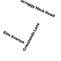
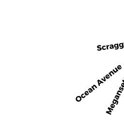
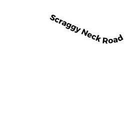
Single Family Residential owned by DOUGLASS ALFRED W JR - 145 SCRAGGY NECK RD
Other Outdoor facilities - e.g. driving ranges, miniature golf, baseball batting ranges, etc... (not Ch. 61B) owned by CATAUMET CLUB INC - 7 GRASSLANDS LN
Single Family Residential owned by FALLON WILLIAM C & JOAN M-LE - 3 GRASSLANDS LN
Single Family Residential owned by CONLON KATHERINE RYAN TR - 0 SCRAGGY NECK RD
Other Outdoor facilities - e.g. driving ranges, miniature golf, baseball batting ranges, etc... (not Ch. 61B) owned by CATAUMET CLUB INC - 0 SQUETEAGUE HARBOR RD
Vacant, Selectmen or City Council (Municipal) owned by TOWN OF BOURNE